
Greene Township topographic map
Interactive map
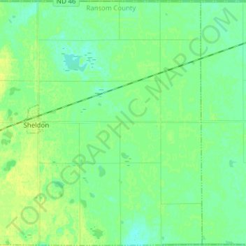
Click on the map to display elevation.
About this map
Name: Greene Township topographic map, elevation, terrain.
Average elevation: 1,073 ft
Minimum elevation: 1,050 ft
Maximum elevation: 1,099 ft
Other topographic maps
Click on a map to view its topography, its elevation and its terrain.
Enderlin
United States > North Dakota > Ransom County
Enderlin, Ransom County, North Dakota, United States
Average elevation: 1,119 ft