
Enderlin topographic map
Interactive map
Click on the map to display elevation.
About this map
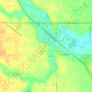
Name: Enderlin topographic map, elevation, terrain.
Location: Enderlin, Ransom County, North Dakota, United States (46.60815 -97.62017 46.63151 -97.56307)
Average elevation: 1,119 ft
Minimum elevation: 1,060 ft
Maximum elevation: 1,168 ft
Other topographic maps
Click on a map to view its topography, its elevation and its terrain.
Greene Township
United States > North Dakota > Ransom County
Greene Township, Ransom County, North Dakota, 58068, United States
Average elevation: 1,073 ft