
Thank you for supporting this site ❤️
Make a donation
Make a donation
Gear up for your next adventure:
As an Amazon Associate, this site earns from qualifying purchases at no extra cost to you.
Atotonilquillo topographic map
Click on the map to display elevation.
Thank you for supporting this site ❤️
Make a donation
Make a donation
Gear up for your next adventure:
As an Amazon Associate, this site earns from qualifying purchases at no extra cost to you.
About this map
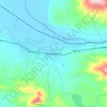
Name: Atotonilquillo topographic map, elevation, terrain.
Location: Atotonilquillo, Chapala, Jalisco, 45930, Mexico (20.35153 -103.16271 20.43153 -103.08271)
Average elevation: 5,322 ft
Minimum elevation: 4,957 ft
Maximum elevation: 7,051 ft
Thank you for supporting this site ❤️
Make a donation
Make a donation
Gear up for your next adventure:
As an Amazon Associate, this site earns from qualifying purchases at no extra cost to you.