
Hohenberg-Krusemark topographic map
Interactive map
Click on the map to display elevation.
Hohenberg-Krusemark
Aland | Altmärkische Höhe | Altmärkische Wische | Eichstedt (Altmark) | Goldbeck | Hassel | Hohenberg-Krusemark | Iden | Kamern | Klietz | Rochau | Schollene | Schönhausen (Elbe) | Wust-Fischbeck | Zehrental
About this map
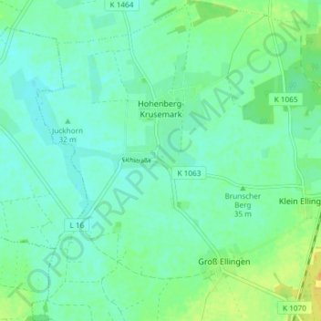
Name: Hohenberg-Krusemark topographic map, elevation, terrain.
Average elevation: 112 ft
Minimum elevation: 85 ft
Maximum elevation: 164 ft