
Oema topographic map
Interactive map
Click on the map to display elevation.
About this map
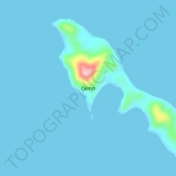
Name: Oema topographic map, elevation, terrain.
Location: Oema, Western, Solomon Islands (-6.69843 156.08182 -6.67162 156.11583)
Average elevation: 30 ft
Minimum elevation: -7 ft
Maximum elevation: 650 ft
Other topographic maps
Click on a map to view its topography, its elevation and its terrain.
Kavachi submarine volcano
Kavachi submarine volcano, Western, Solomon Islands
Average elevation: 0 ft
Tetepare Island
Tetepare Island, Western, Solomon Islands
Average elevation: 92 ft