
Thank you for supporting this site ❤️
Make a donation
Make a donation
Gear up for your next adventure:
As an Amazon Associate, this site earns from qualifying purchases at no extra cost to you.
Parguyuc topographic map
Click on the map to display elevation.
Thank you for supporting this site ❤️
Make a donation
Make a donation
Gear up for your next adventure:
As an Amazon Associate, this site earns from qualifying purchases at no extra cost to you.
About this map
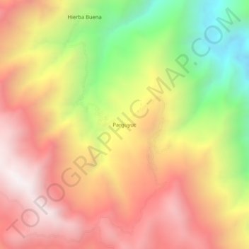
Name: Parguyuc topographic map, elevation, terrain.
Location: Parguyuc, Huarmaca, Huancabamba, Piura, Peru (-5.68729 -79.49327 -5.64729 -79.45327)
Average elevation: 7,743 ft
Minimum elevation: 4,957 ft
Maximum elevation: 9,928 ft
Thank you for supporting this site ❤️
Make a donation
Make a donation
Gear up for your next adventure:
As an Amazon Associate, this site earns from qualifying purchases at no extra cost to you.