Geolocate

Carthage topographic map

Click on the map to display elevation.

About this map

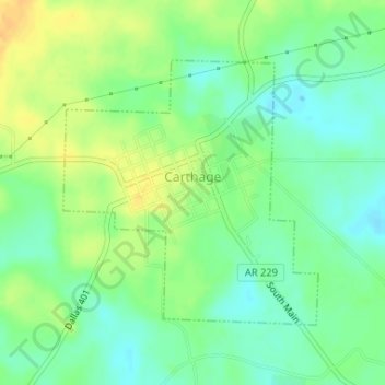
Name: Carthage topographic map, elevation, terrain.

Location: Carthage, Dallas County, Arkansas, 71725, United States (34.06334 -92.56674 34.08192 -92.54512)

Average elevation: 305 ft

Minimum elevation: 259 ft

Maximum elevation: 358 ft

Dallas County trails, hiking, mountain biking, running and outdoor activities

Gear up for your next adventure:

🧥Men's Rain Shells - Premium waterproof and breathable jackets for mountain weather
🗃️Trail First Aid Kit - Essential kit for outdoor injuries and emergencies
🧼Biodegradable Camping Soap - Eco‑friendly soap for outdoor hygiene
🔋Rechargeable Batteries - Power up your outdoor devices
📌Outdoor GPS Map App - Apps and devices for digital topographic navigation

As an Amazon Associate, this site earns from qualifying purchases at no extra cost to you.