
Make a donation
Gear up for your next adventure:
As an Amazon Associate, this site earns from qualifying purchases at no extra cost to you.
Penns Grove topographic map
Click on the map to display elevation.
Make a donation
Gear up for your next adventure:
As an Amazon Associate, this site earns from qualifying purchases at no extra cost to you.
About this map
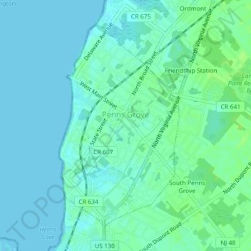
Name: Penns Grove topographic map, elevation, terrain.
Location: Penns Grove, Salem County, New Jersey, United States (39.71734 -75.47726 39.73935 -75.46046)
Average elevation: 13 ft
Minimum elevation: 0 ft
Maximum elevation: 33 ft
Salem County trails, hiking, mountain biking, running and outdoor activities
Make a donation
Gear up for your next adventure:
As an Amazon Associate, this site earns from qualifying purchases at no extra cost to you.
Other topographic maps
Click on a map to view its topography, its elevation and its terrain.
Make a donation
Gear up for your next adventure:
As an Amazon Associate, this site earns from qualifying purchases at no extra cost to you.
Cedar Crest Manor
United States > New Jersey > Salem County > Carneys Point Township > Cedar Crest Manor
Average elevation: 13 ft
Golf View
United States > New Jersey > Salem County > Carneys Point Township > Carneys Point > Golf View
Average elevation: 13 ft
Make a donation
Gear up for your next adventure:
As an Amazon Associate, this site earns from qualifying purchases at no extra cost to you.