
Sugar Loaf Mountain topographic map
Interactive map
Click on the map to display elevation.
About this map
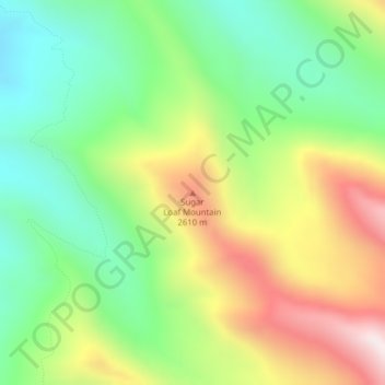
Name: Sugar Loaf Mountain topographic map, elevation, terrain.
Location: Sugar Loaf Mountain, Park County, Montana, United States (46.09378 -110.44580 46.09388 -110.44570)
Average elevation: 7,687 ft
Minimum elevation: 6,667 ft
Maximum elevation: 9,213 ft
Other topographic maps
Click on a map to view its topography, its elevation and its terrain.
Livingston
United States > Montana > Park County
Livingston, Park County, Montana, United States
Average elevation: 4,662 ft
Emigrant
United States > Montana > Park County
Emigrant, Park County, Montana, 59027, United States
Average elevation: 5,020 ft
Electric
United States > Montana > Park County > Electric
Electric, Park County, Montana, 59030, United States
Average elevation: 5,827 ft