
大河沿镇 topographic map
Interactive map
Click on the map to display elevation.
About this map
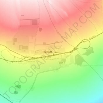
Name: 大河沿镇 topographic map, elevation, terrain.
Location: 大河沿镇, 高昌区, 吐鲁番市, 新疆维吾尔自治区, 中国 (43.11221 88.83044 43.19221 88.91044)
Average elevation: 2,841 ft
Minimum elevation: 2,044 ft
Maximum elevation: 3,596 ft
Other topographic maps
Click on a map to view its topography, its elevation and its terrain.