
葡萄镇 topographic map
Interactive map
Click on the map to display elevation.
About this map
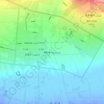
Name: 葡萄镇 topographic map, elevation, terrain.
Location: 葡萄镇, 高昌区, 吐鲁番市, 新疆维吾尔自治区, 中国 (42.90269 89.16374 42.98269 89.24374)
Average elevation: 98 ft
Minimum elevation: -128 ft
Maximum elevation: 548 ft
Other topographic maps
Click on a map to view its topography, its elevation and its terrain.