
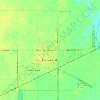
Rockwell City topographic map
Interactive map
Click on the map to display elevation.
About this map
Name: Rockwell City topographic map, elevation, terrain.
Location: Rockwell City, Calhoun County, Iowa, United States (42.38422 -94.64977 42.41344 -94.60088)
Average elevation: 1,217 ft
Minimum elevation: 1,178 ft
Maximum elevation: 1,237 ft
Calhoun County trails, hiking, mountain biking, running and outdoor activities