
Uzungöl topographic map
Interactive map
Click on the map to display elevation.
About this map
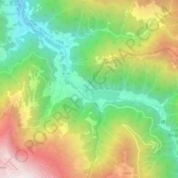
Name: Uzungöl topographic map, elevation, terrain.
Location: Uzungöl, Çaykara, Trabzon, Black Sea Region, 61960, Turkey (40.60061 40.27019 40.64061 40.31019)
Average elevation: 4,885 ft
Minimum elevation: 2,887 ft
Maximum elevation: 7,654 ft
Other topographic maps
Click on a map to view its topography, its elevation and its terrain.