
Netekanaal topographic map
Interactive map
Click on the map to display elevation.
About this map
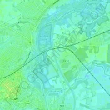
Name: Netekanaal topographic map, elevation, terrain.
Location: Netekanaal, Lier, Mechelen, Antwerpen, Vlaanderen, 2500, België (51.13685 4.58398 51.14691 4.58818)
Average elevation: 20 ft
Minimum elevation: 3 ft
Maximum elevation: 39 ft
Other topographic maps
Click on a map to view its topography, its elevation and its terrain.
Fort Lier
België > Vlaanderen > Lier
Fort Lier, Fortweg, Lier, Mechelen, Antwerpen, Vlaanderen, 2500, België
Average elevation: 16 ft
Koningshooikt
België > Vlaanderen > Lier > Koningshooikt
Koningshooikt, Lier, Antwerpen, Vlaanderen, 2500, België
Average elevation: 30 ft