
Thank you for supporting this site ❤️
Make a donation
Make a donation
Gear up for your next adventure:
As an Amazon Associate, this site earns from qualifying purchases at no extra cost to you.
Uzbek topographic map
Click on the map to display elevation.
Thank you for supporting this site ❤️
Make a donation
Make a donation
Gear up for your next adventure:
As an Amazon Associate, this site earns from qualifying purchases at no extra cost to you.
About this map
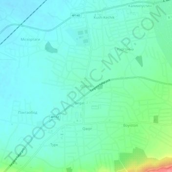
Name: Uzbek topographic map, elevation, terrain.
Location: Uzbek, Quva tumani, Fergana Region, 150818, Uzbekistan (40.48234 72.01635 40.52234 72.05635)
Average elevation: 1,617 ft
Minimum elevation: 1,558 ft
Maximum elevation: 1,834 ft
Thank you for supporting this site ❤️
Make a donation
Make a donation
Gear up for your next adventure:
As an Amazon Associate, this site earns from qualifying purchases at no extra cost to you.