Geolocate

Perry topographic map

Click on the map to display elevation.

About this map

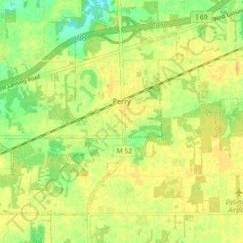
Name: Perry topographic map, elevation, terrain.

Location: Perry, Shiawassee County, Michigan, United States (42.80511 -84.26764 42.84004 -84.20523)

Average elevation: 886 ft

Minimum elevation: 830 ft

Maximum elevation: 915 ft

Shiawassee County trails, hiking, mountain biking, running and outdoor activities

Other topographic maps

Click on a map to view its topography, its elevation and its terrain.

Rose Lake

United States > Michigan > Shiawassee County

Average elevation: 856 ft

New Haven

United States > Michigan > Shiawassee County

Average elevation: 719 ft

Gear up for your next adventure:

🛌Ultralight Sleeping Bags - Compact down bags for cold nights in the wilderness
🔭Compact Binoculars - HD vision for scouting terrain and identifying distant landmarks
🪶Fire Starter Kit - Reliable fire starter for survival and camping
📚Navigation Handbooks - Master the art of reading topographic maps and using a compass
🧭Map Reading Tools - Tools and kits for map navigation

As an Amazon Associate, this site earns from qualifying purchases at no extra cost to you.