
Thank you for supporting this site ❤️
Make a donation
Make a donation
Gear up for your next adventure:
As an Amazon Associate, this site earns from qualifying purchases at no extra cost to you.
Usman Khera topographic map
Click on the map to display elevation.
Thank you for supporting this site ❤️
Make a donation
Make a donation
Gear up for your next adventure:
As an Amazon Associate, this site earns from qualifying purchases at no extra cost to you.
About this map
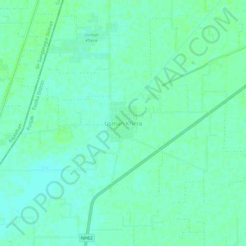
Name: Usman Khera topographic map, elevation, terrain.
Location: Usman Khera, Abohar Tahsil, Fazilka District, Punjab, India (30.00236 73.89249 30.04236 73.93249)
Average elevation: 584 ft
Minimum elevation: 571 ft
Maximum elevation: 594 ft
Thank you for supporting this site ❤️
Make a donation
Make a donation
Gear up for your next adventure:
As an Amazon Associate, this site earns from qualifying purchases at no extra cost to you.