Geolocate

Merrimac topographic map

Click on the map to display elevation.

About this map

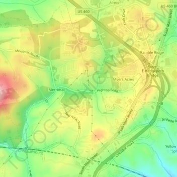
Name: Merrimac topographic map, elevation, terrain.

Location: Merrimac, Montgomery County, Virginia, United States (37.17651 -80.45003 37.20303 -80.40872)

Average elevation: 2,083 ft

Minimum elevation: 1,854 ft

Maximum elevation: 2,323 ft

Montgomery County trails, hiking, mountain biking, running and outdoor activities

Gear up for your next adventure:

🗺️NatGeo Topo Maps - High-quality waterproof printed topographic maps of US Parks
📷Action Cameras - Rugged cameras to document your journeys across rugged terrain
🪶Fire Starter Kit - Reliable fire starter for survival and camping
🗃️Trail First Aid Kit - Essential kit for outdoor injuries and emergencies
🧥Waterproof Jacket for Hiking - Breathable and rugged rain jacket for outdoor excursions

As an Amazon Associate, this site earns from qualifying purchases at no extra cost to you.