Geolocate

Anton topographic map

Click on the map to display elevation.

About this map

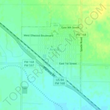
Name: Anton topographic map, elevation, terrain.

Location: Anton, Hockley County, Texas, 79313, United States (33.80058 -102.17319 33.81851 -102.15560)

Average elevation: 3,396 ft

Minimum elevation: 3,369 ft

Maximum elevation: 3,428 ft

Hockley County trails, hiking, mountain biking, running and outdoor activities

Gear up for your next adventure:

📻Weather Alert Radios - Stay informed of storm risks while off-the-grid
🪵Folding Camp Saw - Compact saw for wood and campsite work
📷Action Cameras - Rugged cameras to document your journeys across rugged terrain
🔦LED Headlamp - Bright and durable LED headlamp for night navigation
🔭Stargazing Telescopes - Perfect for camping in low-light pollution areas shown on maps

As an Amazon Associate, this site earns from qualifying purchases at no extra cost to you.