
Thank you for supporting this site ❤️
Make a donation
Make a donation
Gear up for your next adventure:
As an Amazon Associate, this site earns from qualifying purchases at no extra cost to you.
Baseth topographic map
Click on the map to display elevation.
Thank you for supporting this site ❤️
Make a donation
Make a donation
Gear up for your next adventure:
As an Amazon Associate, this site earns from qualifying purchases at no extra cost to you.
About this map
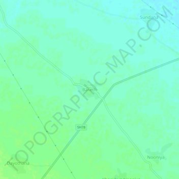
Name: Baseth topographic map, elevation, terrain.
Location: Baseth, Kathumar Tehsil, Alwar District, Rajasthan, India (27.27356 76.95788 27.31356 76.99788)
Average elevation: 719 ft
Minimum elevation: 702 ft
Maximum elevation: 732 ft
Thank you for supporting this site ❤️
Make a donation
Make a donation
Gear up for your next adventure:
As an Amazon Associate, this site earns from qualifying purchases at no extra cost to you.