
Make a donation
Gear up for your next adventure:
As an Amazon Associate, this site earns from qualifying purchases at no extra cost to you.
Atuba, Pinhais topographic map
Click on the map to display elevation.
Make a donation
Gear up for your next adventure:
As an Amazon Associate, this site earns from qualifying purchases at no extra cost to you.
About this map
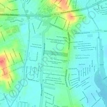
Name: Atuba, Pinhais topographic map, elevation, terrain.
Average elevation: 2,943 ft
Minimum elevation: 2,887 ft
Maximum elevation: 3,091 ft
Make a donation
Gear up for your next adventure:
As an Amazon Associate, this site earns from qualifying purchases at no extra cost to you.
Other topographic maps
Click on a map to view its topography, its elevation and its terrain.
Pinhais
Brasil > Paraná > Região Metropolitana de Curitiba > Pinhais
O Município de Pinhais é o menor município do Paraná, com cerca de 61,007 quilômetros quadrados. Está localizado a 893 metros de altitude, e é considerado um local plano com algumas suaves inclinações, como no bairro Vila Amélia e nas proximidades do Centro e Jardim Pedro Demeterco. Cerca de 1/3 de…
Average elevation: 3,022 ft