
Okeechobee topographic map
Interactive map
Click on the map to display elevation.
About this map
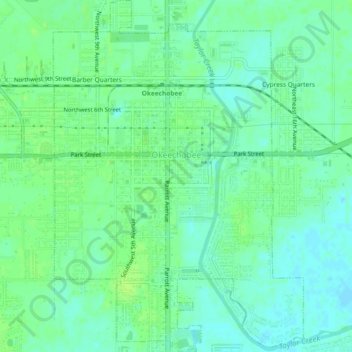
Name: Okeechobee topographic map, elevation, terrain.
Location: Okeechobee, Okeechobee County, Florida, United States (27.22051 -80.84501 27.26174 -80.81197)
Average elevation: 30 ft
Minimum elevation: 10 ft
Maximum elevation: 46 ft
Other topographic maps
Click on a map to view its topography, its elevation and its terrain.
Fort Drum
United States > Florida > Okeechobee County
Fort Drum, Okeechobee County, Florida, United States
Average elevation: 59 ft