
Fort Drum topographic map
Interactive map
Click on the map to display elevation.
About this map
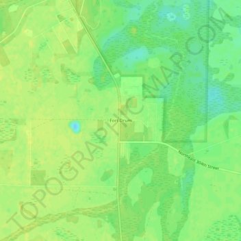
Name: Fort Drum topographic map, elevation, terrain.
Location: Fort Drum, Okeechobee County, Florida, United States (27.50670 -80.82673 27.54670 -80.78673)
Average elevation: 59 ft
Minimum elevation: 23 ft
Maximum elevation: 79 ft
Other topographic maps
Click on a map to view its topography, its elevation and its terrain.
Okeechobee
United States > Florida > Okeechobee County
Okeechobee, Okeechobee County, Florida, United States
Average elevation: 30 ft