
City of Auburn topographic map
Interactive map
Click on the map to display elevation.
About this map
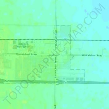
Name: City of Auburn topographic map, elevation, terrain.
Location: City of Auburn, Bay County, Michigan, United States (43.59630 -84.08958 43.61071 -84.05944)
Average elevation: 620 ft
Minimum elevation: 604 ft
Maximum elevation: 633 ft
Other topographic maps
Click on a map to view its topography, its elevation and its terrain.
City of Essexville
United States > Michigan > Bay County
City of Essexville, Bay County, Michigan, United States
Average elevation: 591 ft
Bay City
United States > Michigan > Bay County
Bay City, Bay County, Michigan, 48708, United States
Average elevation: 594 ft