Geolocate

Mart topographic map

Click on the map to display elevation.

About this map

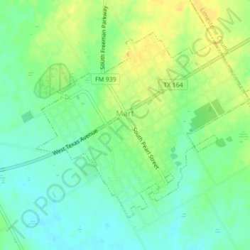
Name: Mart topographic map, elevation, terrain.

Location: Mart, McLennan County, Texas, United States (31.53009 -96.84595 31.55192 -96.81150)

Average elevation: 522 ft

Minimum elevation: 482 ft

Maximum elevation: 568 ft

McLennan County trails, hiking, mountain biking, running and outdoor activities

Other topographic maps

Click on a map to view its topography, its elevation and its terrain.

Wiggins

United States > Texas > McLennan County

Average elevation: 564 ft

Waco

United States > Texas > McLennan County > Waco

Average elevation: 492 ft

McGregor

United States > Texas > McLennan County > McGregor > McGregor

Average elevation: 715 ft

Speegleville

United States > Texas > McLennan County > Waco

Average elevation: 495 ft

Bruceville-Eddy

United States > Texas > McLennan County

Average elevation: 650 ft

Eddy

United States > Texas > McLennan County > Bruceville-Eddy

Average elevation: 692 ft

Tehuacana Creek

United States > Texas > McLennan County > Neale

Average elevation: 394 ft

Bosqueville

United States > Texas > McLennan County > Waco > Bosqueville

Average elevation: 443 ft

Gear up for your next adventure:

🥾Hiking Shoes - Durable and comfortable shoes for trail hiking
🏔️Mountain Trail Maps - High‑detail maps for popular peaks
🌡️Portable Weather Meter - Track weather conditions on the trail
🔦Powerful Headlamps - Ultra-bright hands-free lighting for night navigation
🌡️Handheld Weather Meters - Measure wind, temp, and pressure for safe mountain travel

As an Amazon Associate, this site earns from qualifying purchases at no extra cost to you.