
Thank you for supporting this site ❤️
Make a donation
Make a donation
Gear up for your next adventure:
As an Amazon Associate, this site earns from qualifying purchases at no extra cost to you.
Cons topographic map
Click on the map to display elevation.
Thank you for supporting this site ❤️
Make a donation
Make a donation
Gear up for your next adventure:
As an Amazon Associate, this site earns from qualifying purchases at no extra cost to you.
About this map
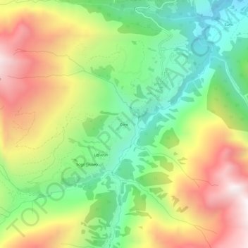
Name: Cons topographic map, elevation, terrain.
Location: Cons, Vrin, Lumnezia, Surselva, Grisons, 7149, Switzerland (46.62907 9.07050 46.66907 9.11050)
Average elevation: 5,850 ft
Minimum elevation: 3,881 ft
Maximum elevation: 8,425 ft
Thank you for supporting this site ❤️
Make a donation
Make a donation
Gear up for your next adventure:
As an Amazon Associate, this site earns from qualifying purchases at no extra cost to you.