
Thank you for supporting this site ❤️
Make a donation
Make a donation
Gear up for your next adventure:
As an Amazon Associate, this site earns from qualifying purchases at no extra cost to you.
Gwana topographic map
Click on the map to display elevation.
Thank you for supporting this site ❤️
Make a donation
Make a donation
Gear up for your next adventure:
As an Amazon Associate, this site earns from qualifying purchases at no extra cost to you.
About this map
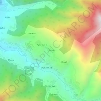
Name: Gwana topographic map, elevation, terrain.
Location: Gwana, Dunda, Uttarkashi district, Uttarakhand, 249151, India (30.65149 78.36006 30.69149 78.40006)
Average elevation: 4,688 ft
Minimum elevation: 3,058 ft
Maximum elevation: 7,543 ft
Thank you for supporting this site ❤️
Make a donation
Make a donation
Gear up for your next adventure:
As an Amazon Associate, this site earns from qualifying purchases at no extra cost to you.