
Thank you for supporting this site ❤️
Make a donation
Make a donation
Gear up for your next adventure:
As an Amazon Associate, this site earns from qualifying purchases at no extra cost to you.
Prislop topographic map
Click on the map to display elevation.
Thank you for supporting this site ❤️
Make a donation
Make a donation
Gear up for your next adventure:
As an Amazon Associate, this site earns from qualifying purchases at no extra cost to you.
About this map
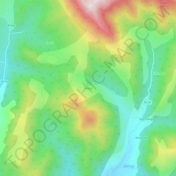
Name: Prislop topographic map, elevation, terrain.
Location: Prislop, Cozia, Cornereva, Caraș-Severin, 327143, Romania (45.08801 22.43346 45.12801 22.47346)
Average elevation: 3,009 ft
Minimum elevation: 2,175 ft
Maximum elevation: 4,531 ft
Thank you for supporting this site ❤️
Make a donation
Make a donation
Gear up for your next adventure:
As an Amazon Associate, this site earns from qualifying purchases at no extra cost to you.