
Thank you for supporting this site ❤️
Make a donation
Make a donation
Gear up for your next adventure:
As an Amazon Associate, this site earns from qualifying purchases at no extra cost to you.
Wakadi topographic map
Click on the map to display elevation.
Thank you for supporting this site ❤️
Make a donation
Make a donation
Gear up for your next adventure:
As an Amazon Associate, this site earns from qualifying purchases at no extra cost to you.
About this map
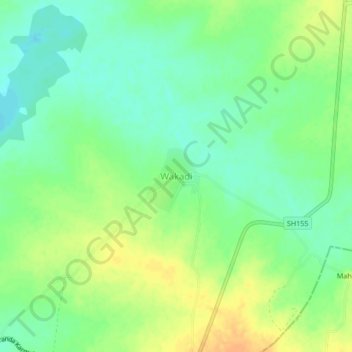
Name: Wakadi topographic map, elevation, terrain.
Location: Wakadi, Paranda, Osmanabad, Maharashtra, India (18.24118 75.54790 18.28118 75.58790)
Average elevation: 1,686 ft
Minimum elevation: 1,637 ft
Maximum elevation: 1,742 ft
Thank you for supporting this site ❤️
Make a donation
Make a donation
Gear up for your next adventure:
As an Amazon Associate, this site earns from qualifying purchases at no extra cost to you.