
Thank you for supporting this site ❤️
Make a donation
Make a donation
Gear up for your next adventure:
As an Amazon Associate, this site earns from qualifying purchases at no extra cost to you.
Hilda topographic map
Click on the map to display elevation.
Thank you for supporting this site ❤️
Make a donation
Make a donation
Gear up for your next adventure:
As an Amazon Associate, this site earns from qualifying purchases at no extra cost to you.
About this map
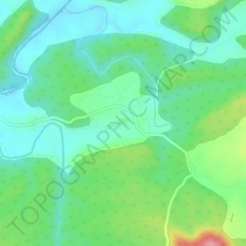
Name: Hilda topographic map, elevation, terrain.
Location: Hilda, Chikhaldara, Amravati, Maharashtra, India (21.73074 77.42209 21.74055 77.44147)
Average elevation: 1,634 ft
Minimum elevation: 1,483 ft
Maximum elevation: 1,962 ft
Thank you for supporting this site ❤️
Make a donation
Make a donation
Gear up for your next adventure:
As an Amazon Associate, this site earns from qualifying purchases at no extra cost to you.