
Thank you for supporting this site ❤️
Make a donation
Make a donation
Gear up for your next adventure:
As an Amazon Associate, this site earns from qualifying purchases at no extra cost to you.
Freuchie topographic map
Click on the map to display elevation.
Thank you for supporting this site ❤️
Make a donation
Make a donation
Gear up for your next adventure:
As an Amazon Associate, this site earns from qualifying purchases at no extra cost to you.
About this map
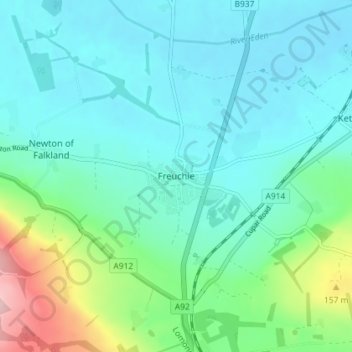
Name: Freuchie topographic map, elevation, terrain.
Location: Freuchie, Fife, Scotland, KY15 7EJ, United Kingdom (56.22860 -3.17697 56.26860 -3.13697)
Average elevation: 256 ft
Minimum elevation: 112 ft
Maximum elevation: 814 ft
Thank you for supporting this site ❤️
Make a donation
Make a donation
Gear up for your next adventure:
As an Amazon Associate, this site earns from qualifying purchases at no extra cost to you.