
Porto Sant'Elpidio topographic map
Interactive map
Click on the map to display elevation.
About this map
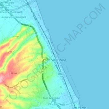
Name: Porto Sant'Elpidio topographic map, elevation, terrain.
Location: Porto Sant'Elpidio, Fermo, Marche, 63821, Italy (43.22943 13.71203 43.29426 13.77847)
Average elevation: 79 ft
Minimum elevation: -10 ft
Maximum elevation: 505 ft
Other topographic maps
Click on a map to view its topography, its elevation and its terrain.