
Center topographic map
Click on the map to display elevation.
About this map
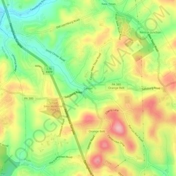
Name: Center topographic map, elevation, terrain.
Average elevation: 1,119 ft
Minimum elevation: 889 ft
Maximum elevation: 1,358 ft
Allegheny County trails, hiking, mountain biking, running and outdoor activities
Other topographic maps
Click on a map to view its topography, its elevation and its terrain.
Allegheny Islands State Park
United States > Pennsylvania > Allegheny County > Plum > Acmetonia
Average elevation: 850 ft