
Make a donation
Gear up for your next adventure:
As an Amazon Associate, this site earns from qualifying purchases at no extra cost to you.
Periyamadu topographic map
Click on the map to display elevation.
Make a donation
Gear up for your next adventure:
As an Amazon Associate, this site earns from qualifying purchases at no extra cost to you.
About this map
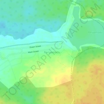
Name: Periyamadu topographic map, elevation, terrain.
Location: Periyamadu, Mannar District, Northern Province, Sri Lanka (8.95506 80.14930 8.99506 80.18930)
Average elevation: 92 ft
Minimum elevation: 49 ft
Maximum elevation: 141 ft
Make a donation
Gear up for your next adventure:
As an Amazon Associate, this site earns from qualifying purchases at no extra cost to you.
Other topographic maps
Click on a map to view its topography, its elevation and its terrain.
Kayts
Sri Lanka > Northern Province > Saravanai
Velani is located at 9°24′N 79°32′E / 9.40°N 79.54°E / 9.40; 79.54. It is surrounded by the Palk Strait and at a distance of 6 kilometres (3.7 mi) south-west of Jaffna town. Though most of Velani district is a level plain and also has maximum elevation of 15 metres (49 ft) above mean sea…
Average elevation: 7 ft
Make a donation
Gear up for your next adventure:
As an Amazon Associate, this site earns from qualifying purchases at no extra cost to you.