
Yenikaya topographic map
Interactive map
Click on the map to display elevation.
About this map
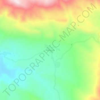
Name: Yenikaya topographic map, elevation, terrain.
Location: Yenikaya, Karakoçan, Elazığ, Eastern Anatolia Region, Turkey (38.98930 40.17794 39.02930 40.21794)
Average elevation: 5,860 ft
Minimum elevation: 5,243 ft
Maximum elevation: 6,864 ft
Other topographic maps
Click on a map to view its topography, its elevation and its terrain.