
Çamardı topographic map
Interactive map
Click on the map to display elevation.
About this map
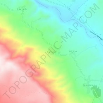
Name: Çamardı topographic map, elevation, terrain.
Location: Çamardı, Karakoçan, Elazığ, Eastern Anatolia Region, Turkey (38.95706 39.95437 38.99706 39.99437)
Average elevation: 4,124 ft
Minimum elevation: 3,386 ft
Maximum elevation: 5,233 ft
Other topographic maps
Click on a map to view its topography, its elevation and its terrain.