
Thank you for supporting this site ❤️
Make a donation
Make a donation
Gear up for your next adventure:
As an Amazon Associate, this site earns from qualifying purchases at no extra cost to you.
Huaca topographic map
Click on the map to display elevation.
Thank you for supporting this site ❤️
Make a donation
Make a donation
Gear up for your next adventure:
As an Amazon Associate, this site earns from qualifying purchases at no extra cost to you.
About this map
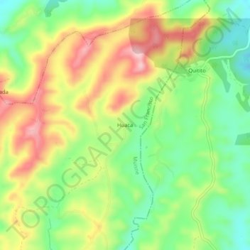
Name: Huaca topographic map, elevation, terrain.
Location: Huaca, San Francisco, Muisne, Esmeraldas, Ecuador (0.75395 -80.03021 0.79395 -79.99021)
Average elevation: 574 ft
Minimum elevation: 266 ft
Maximum elevation: 948 ft
Thank you for supporting this site ❤️
Make a donation
Make a donation
Gear up for your next adventure:
As an Amazon Associate, this site earns from qualifying purchases at no extra cost to you.