
Bierhütte topographic map
Interactive map
Click on the map to display elevation.
About this map
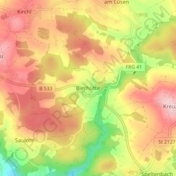
Name: Bierhütte topographic map, elevation, terrain.
Average elevation: 2,349 ft
Minimum elevation: 1,896 ft
Maximum elevation: 2,694 ft
Other topographic maps
Click on a map to view its topography, its elevation and its terrain.
Waldkirchen
Germany > Bavaria > Landkreis Freyung-Grafenau
Waldkirchen, Landkreis Freyung-Grafenau, Bavaria, 94065, Germany
Average elevation: 1,965 ft
Zenting
Germany > Bavaria > Landkreis Freyung-Grafenau > Zenting
Zenting, Thurmansbang (VGem), Landkreis Freyung-Grafenau, Bavaria, 94579, Germany
Average elevation: 1,804 ft
Freyung
Germany > Bavaria > Landkreis Freyung-Grafenau > Freyung
Freyung, Landkreis Freyung-Grafenau, Bavaria, 94078, Germany
Average elevation: 2,280 ft
Hohenau
Germany > Bavaria > Landkreis Freyung-Grafenau
Hohenau, Landkreis Freyung-Grafenau, Bavaria, 94545, Germany
Average elevation: 2,392 ft