
Valenzani topographic map
Click on the map to display elevation.
About this map
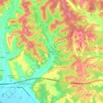
Name: Valenzani topographic map, elevation, terrain.
Location: Valenzani, Asti, Piemonte, 14030, Italia (44.90111 8.27972 44.94111 8.31972)
Average elevation: 551 ft
Minimum elevation: 367 ft
Maximum elevation: 712 ft
Other topographic maps
Click on a map to view its topography, its elevation and its terrain.