
Chambal topographic map
Interactive map
Click on the map to display elevation.
About this map
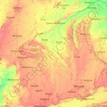
Name: Chambal topographic map, elevation, terrain.
Location: Chambal, Baran Tehsil, Baran, Rajastán, 323600, India (22.51903 75.26579 26.86972 79.24912)
Average elevation: 1,250 ft
Minimum elevation: 374 ft
Maximum elevation: 2,920 ft
Other topographic maps
Click on a map to view its topography, its elevation and its terrain.