
Lorocachi topographic map
Interactive map
Click on the map to display elevation.
About this map
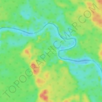
Name: Lorocachi topographic map, elevation, terrain.
Location: Lorocachi, Rio Tigre, Pastaza, Ecuador (-1.63450 -76.00760 -1.59450 -75.96760)
Average elevation: 614 ft
Minimum elevation: 548 ft
Maximum elevation: 702 ft
Other topographic maps
Click on a map to view its topography, its elevation and its terrain.