
Santa Rosa topographic map
Interactive map
Click on the map to display elevation.
About this map
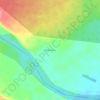
Name: Santa Rosa topographic map, elevation, terrain.
Location: Santa Rosa, Simon Bolivar, Pastaza, Ecuador (-2.10733 -77.51297 -2.06733 -77.47297)
Average elevation: 1,463 ft
Minimum elevation: 1,345 ft
Maximum elevation: 1,663 ft
Other topographic maps
Click on a map to view its topography, its elevation and its terrain.