
Itahari topographic map
Interactive map
Click on the map to display elevation.
About this map
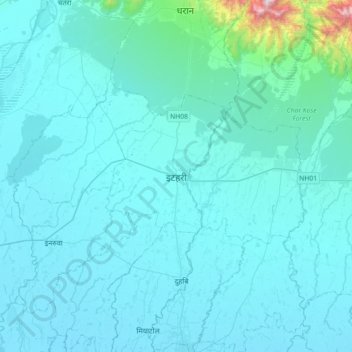
Name: Itahari topographic map, elevation, terrain.
Location: Itahari, Sunsari, Koshi Province, 56705, Nepal (26.50225 87.11490 26.82225 87.43490)
Average elevation: 525 ft
Minimum elevation: 240 ft
Maximum elevation: 4,931 ft
Other topographic maps
Click on a map to view its topography, its elevation and its terrain.
Dharan
Nepal > Koshi Province > Sunsari
Dharan, Sunsari, Koshi Province, Nepal
Average elevation: 1,660 ft