
Dry Gorge topographic map
Interactive map
Click on the map to display elevation.
About this map
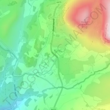
Name: Dry Gorge topographic map, elevation, terrain.
Average elevation: 732 ft
Minimum elevation: 131 ft
Maximum elevation: 1,788 ft
Other topographic maps
Click on a map to view its topography, its elevation and its terrain.
Ffestiniog
United Kingdom > Wales > Gwynedd > Manod
Ffestiniog, Manod, Gwynedd, Wales, United Kingdom
Average elevation: 1,175 ft