
Thank you for supporting this site ❤️
Make a donation
Make a donation
Gear up for your next adventure:
As an Amazon Associate, this site earns from qualifying purchases at no extra cost to you.
Carachupa topographic map
Click on the map to display elevation.
Thank you for supporting this site ❤️
Make a donation
Make a donation
Gear up for your next adventure:
As an Amazon Associate, this site earns from qualifying purchases at no extra cost to you.
About this map
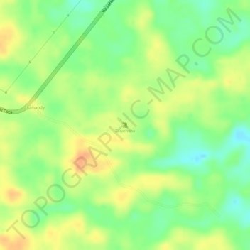
Name: Carachupa topographic map, elevation, terrain.
Location: Carachupa, San José de Payamino, Loreto, Orellana, Ecuador (-0.54934 -77.17624 -0.54924 -77.17614)
Average elevation: 968 ft
Minimum elevation: 892 ft
Maximum elevation: 1,027 ft
Thank you for supporting this site ❤️
Make a donation
Make a donation
Gear up for your next adventure:
As an Amazon Associate, this site earns from qualifying purchases at no extra cost to you.