Geolocate

Emmonak topographic map

Click on the map to display elevation.

👉 Easily get elevation data in JSON, GeoTIFF and KML formats using Elevation API
Thank you for supporting this site ❤️
Make a donation

About this map

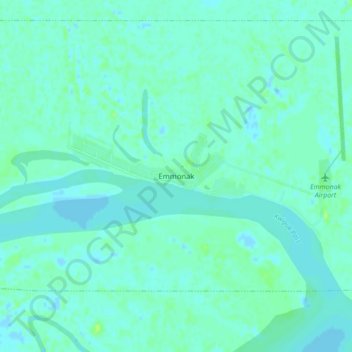
Name: Emmonak topographic map, elevation, terrain.

Location: Emmonak, Unorganized Borough, Alaska, 99581, United States (62.75732 -164.55153 62.79732 -164.51153)

Average elevation: 10 ft

Minimum elevation: -13 ft

Maximum elevation: 36 ft

Unorganized Borough trails, hiking, mountain biking, running and outdoor activities

Gear up for your next adventure:

🏕️Family Camping Gear - Essentials for group camping trips
🧯Emergency Survival Kit - All‑in‑one survival essentials for the backcountry
📷Action Camera - Capture your outdoor adventures in HD
🩹Survival Bandages - High‑quality bandages for emergencies
🩳Quick‑Dry Hiking Shorts - Comfortable and quick‑dry shorts for summer hiking

As an Amazon Associate, this site earns from qualifying purchases at no extra cost to you.