
Wier topographic map
Interactive map
Click on the map to display elevation.
About this map
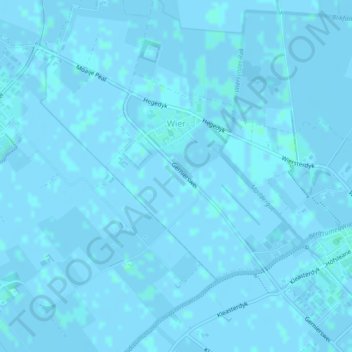
Name: Wier topographic map, elevation, terrain.
Location: Wier, Waadhoeke, Friesland, Nederland (53.24007 5.61416 53.25576 5.63966)
Average elevation: 0 ft
Minimum elevation: -10 ft
Maximum elevation: 10 ft
Other topographic maps
Click on a map to view its topography, its elevation and its terrain.