
Kettle Moraine State Forest - South topographic map
Interactive map
Click on the map to display elevation.
About this map
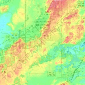
Name: Kettle Moraine State Forest - South topographic map, elevation, terrain.
Average elevation: 899 ft
Minimum elevation: 778 ft
Maximum elevation: 1,102 ft
Jefferson County trails, hiking, mountain biking, running and outdoor activities
Other topographic maps
Click on a map to view its topography, its elevation and its terrain.
Aztalan State Park
United States > Wisconsin > Jefferson County > Town of Aztalan
Average elevation: 837 ft