Geolocate

Medha topographic map

Click on the map to display elevation.

About this map

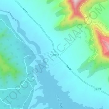
Name: Medha topographic map, elevation, terrain.

Location: Medha, Jaoli, Satara District, Maharashtra, 415012, India (17.77474 73.80779 17.81474 73.84779)

Average elevation: 2,487 ft

Minimum elevation: 2,234 ft

Maximum elevation: 3,842 ft

Gear up for your next adventure:

🧤Tactile Hiking Gloves - Keep hands warm while operating GPS and smartphone screens
🔊Portable Camp Speaker - Music and alerts at camp
🔋Rechargeable Batteries - Power up your outdoor devices
🥘Titanium Cookware - Durable, featherlight pots and pans for backpacking
📶Vehicle Signal Boosters - Improve reception in rural areas while driving to trailheads

As an Amazon Associate, this site earns from qualifying purchases at no extra cost to you.