Geolocate

Bayong topographic map

Click on the map to display elevation.

About this map
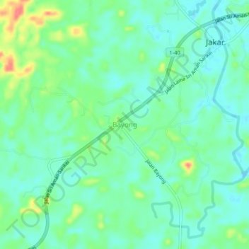
Name: Bayong topographic map, elevation, terrain.

Location: Bayong, Sarikei, Sarikei Division, Sarawak, Malaysia (2.01056 111.45965 2.05056 111.49965)

Average elevation: 62 ft

Minimum elevation: 0 ft

Maximum elevation: 213 ft

Gear up for your next adventure:

🩳Quick‑Dry Hiking Shorts - Comfortable and quick‑dry shorts for summer hiking
🧯Portable Fire Pit - Compact fire pit for camping spots
🛰️Handheld GPS Units - Professional satellite navigators for precise backcountry mapping
🏕️Tent Footprint - Protect your tent base from wear
🥾Men's Hiking Boots - Durable, waterproof footwear for rugged terrain and steep inclines

As an Amazon Associate, this site earns from qualifying purchases at no extra cost to you.